Services
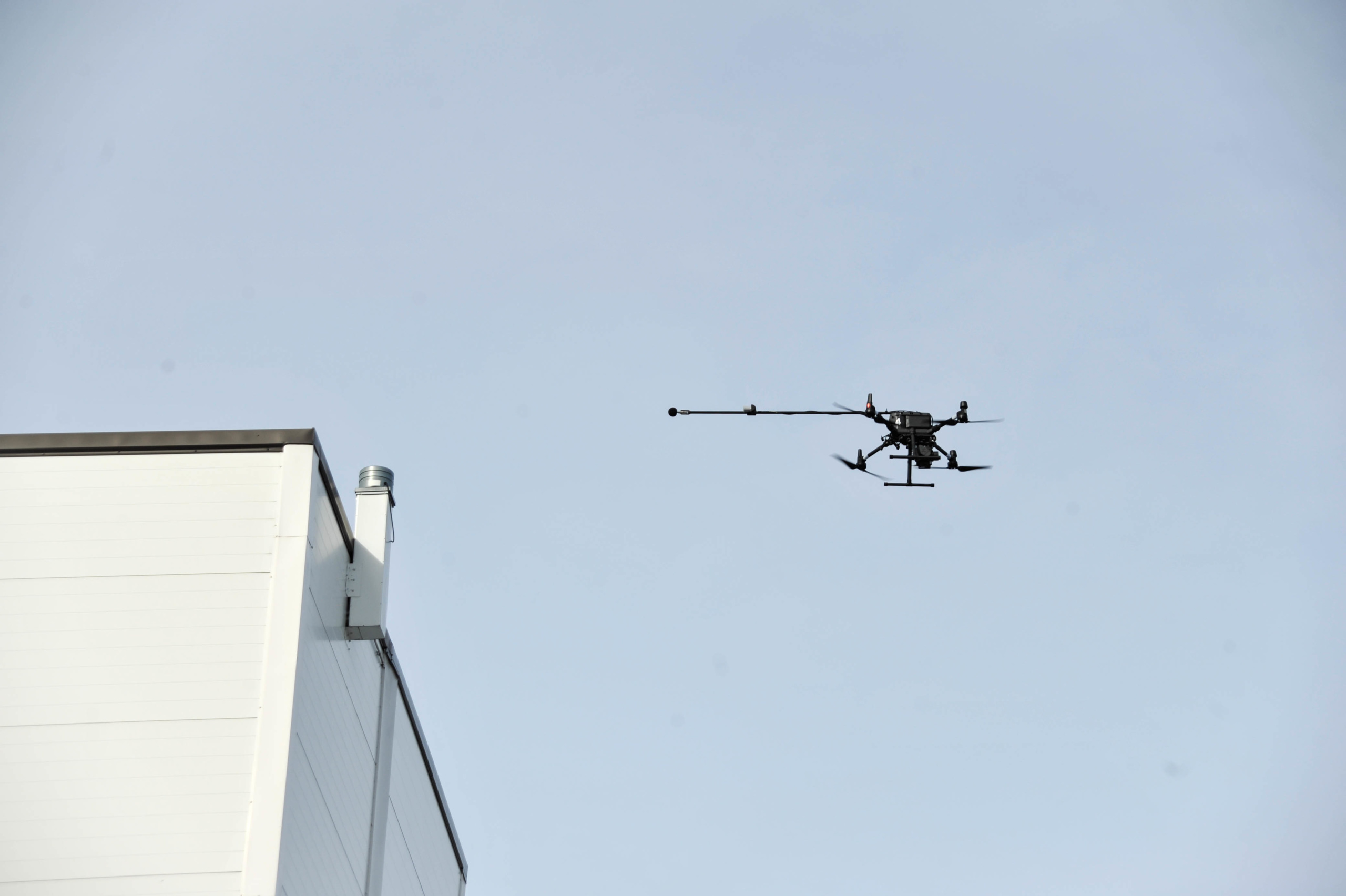
Based on customers' needs we provide real-time, easy to understand data on airborne emissions
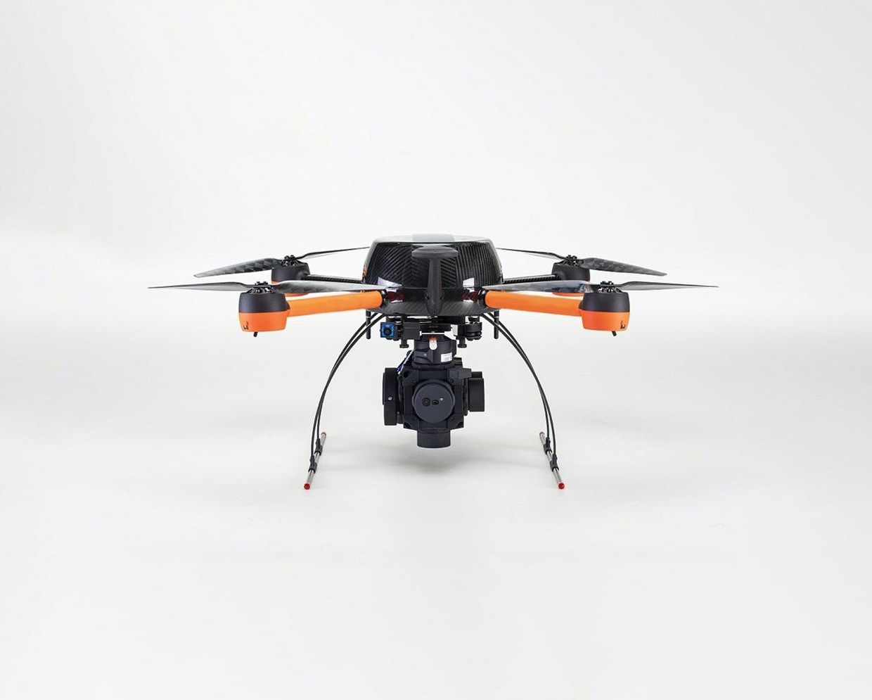
Our key competencies lie within our customer project approach and the reliability of our results. The measurements are conducted under normal operations and require little to no effort from customer. Site-specific measurement plans accommodate multiple gaseous compounds, with a current record of 14 different parameters being measured simultaneously.
Customers receive real-time and visualised data, enabling better decision making through improved insights into operation conditions, resulting in reduced product loss and air pollution, whilst enhancing work safety.
Emission Mapping
Actionable information on fugitive emission locations, sources, and concentration levels
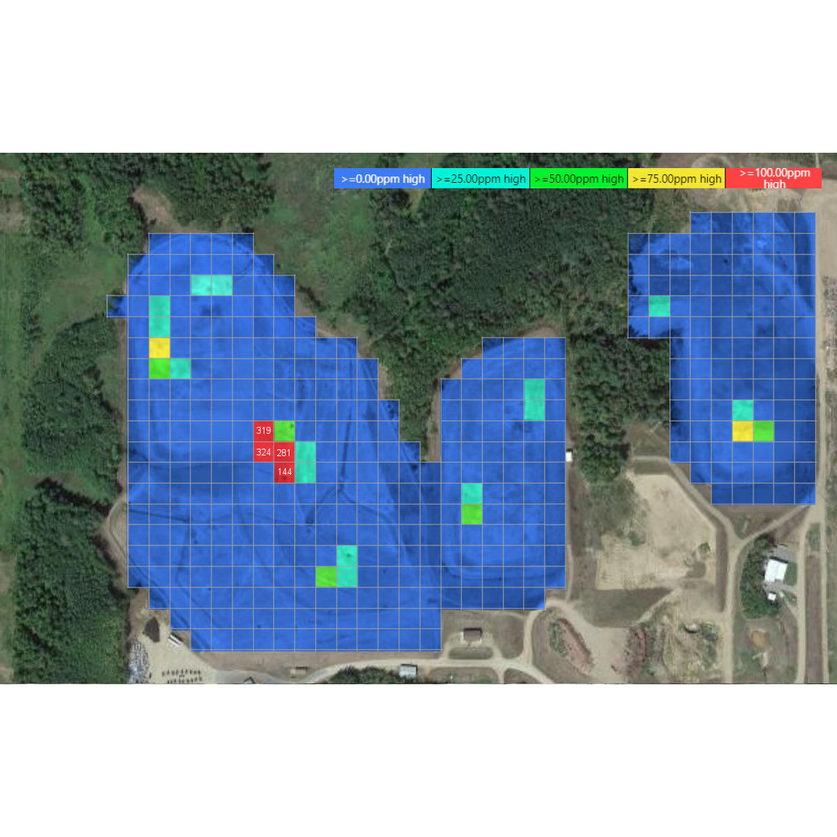
Mapping out fugitive emissions is a great way to start getting to know your surroundings. It gives a clear picture of where the biggest pollution points and their concentration levels are at that specific point of time. With this “treasure map” it’s easy to go dig deeper and find out more of those sources, their severity and exact location. It’s a tool for the whole company from maintenance to operations and environmental aspects to back investment decisions.
Interested? Read more on our Map Emissions page.
Leak Detection
Site-level information on leakage locations and volumes
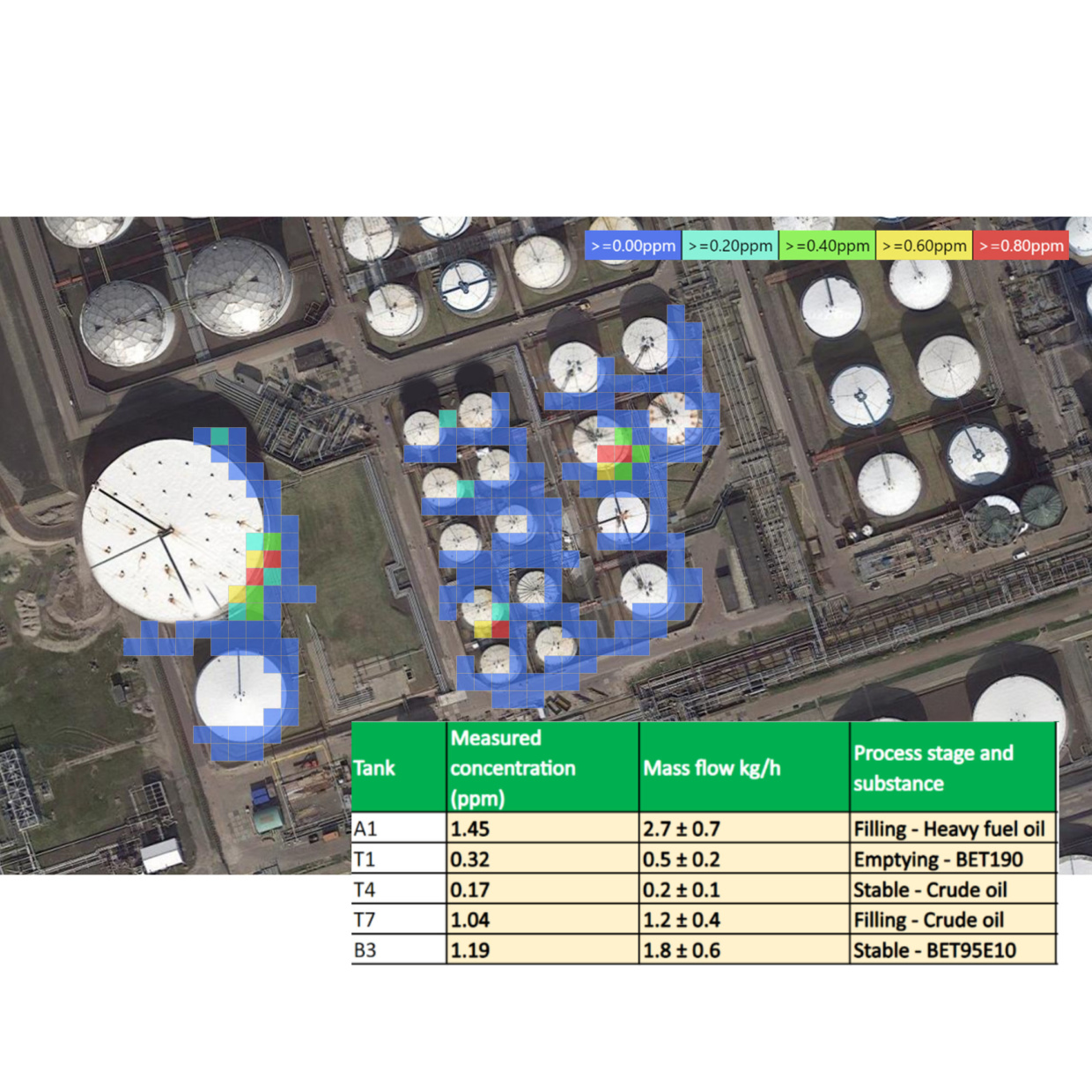
We can locate and quantify leakages on large industrial areas the most effective way available. The results are valuable for maintenance prioritisation and to help you improve emission reporting according to OGMP 2.0 Level 5. Each detected and fixed leak means savings in process costs in long term.
Interested? Read more on our Detect Leaks page.
Dilution & Spreading
Visualised, layered information on the emission dispersion of various compounds
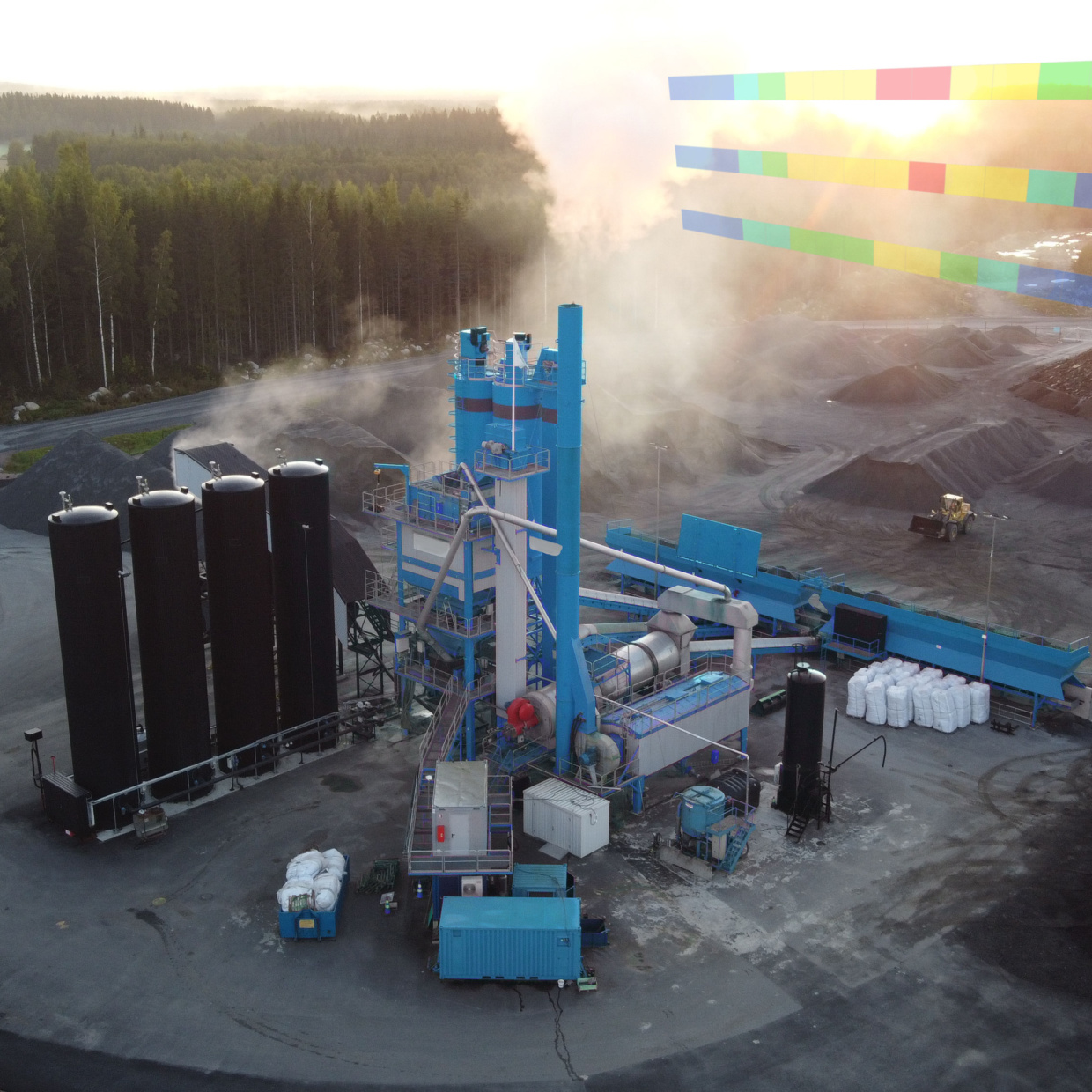
A knowledge of emission dispersion allows you to better understand the impact emissions and odours have on your surroundings. We perform the emission fenceline measurements downwind from the source at multiple altitudes and distances to give assessed data points in three dimensions. The incoming pollution is recorded with reference fenceline measurements directly upwind from the found sources.
Interested? Read more on our Track Spreading & Dilution page.
Process Monitoring
Continuous and real-time measurements to support process development and operations
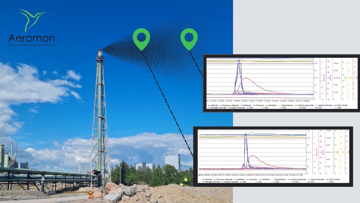
We provide an excellent way to detect the impact of new process elements or maintenance actions. Obtained results before, during and after changes in process gives you validation of investments’ effectiveness. Our data gathering services aid you scale best practises and innovative technologies along with tracking sustainability goals.
Interested? Read more on our Monitor Processes page.
Our Service Model
We tailor our services to aid in your mission

Single Measurements
We offer one-time measurements to address pressing issues or as the basis for further collaboration. This is a turnkey package that comprises of planning, performing and reporting on the measurements.

Recurrent Measurements
We implement periodic surveys of sites in aid of your environmental targets. A business model is created to ensure successful integration into your workflow.

Long-term Monitoring
By way of rental agreement or continual monitoring, we deliver our most hands-on service. Based on purpose, this could include continuous reporting and in-person training.
Our Measurement Workflow
We approach each step of the measurement process with a focus on care and transparency

Planning
We map out each measurement with you to ensure the set objective is realised. This is formed by an open discussion at a level of specificity necessary for the site.

Measurements
Whilst on site, we remain in close contact with you and adapt to any changes in conditions. Preliminary results are provided as the measurements progress.

Reporting
Once the survey has concluded, we prepare and deliver a thorough report that we go through with you in an online meeting. This provides an opportunity for addressing any questions you have and discussing future measurements.